
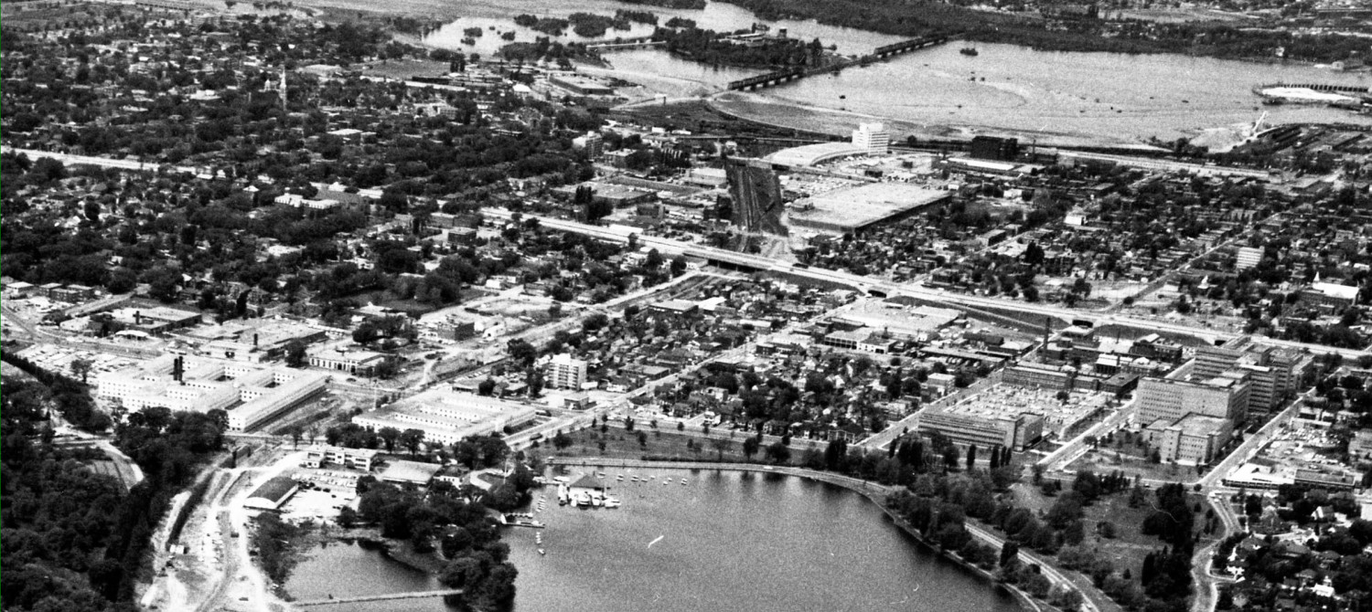

West Side Transportation Cornucopia, part vi – Bayview Station overpass
Let’s look at that confusing stretch of road between Bayview Avenue and City Centre Avenue. Legally known as Albert Street, many folks persist in calling it Scott Street (which only runs west of Bayview). It’s a bleak and uninviting bit … Continue reading West Side Transportation Cornucopia, part vi – Bayview Station overpass


")
")
")


 Tunney’s Pasture")