Western LRT (part i)

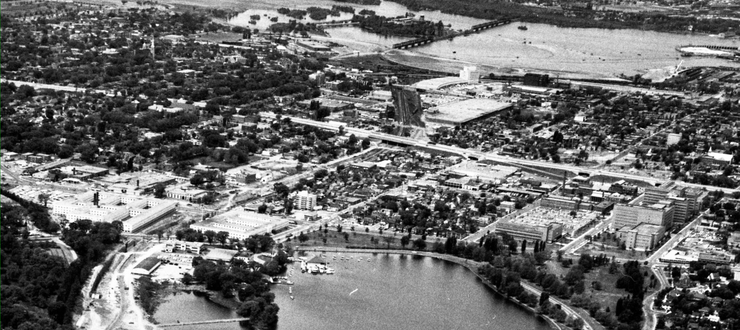
Last week, city staff offered some briefings on the western LRT options. Recall that the current downtown Ottawa transit tunnel study, now renamed  Ottawa Light Rail Transit/Tunnel (OLRT), covers that portion from Blair Road in the east to Tunney’s Pasture in the west. However, the first components of the LRT system includes a service from Tunney’s to Lincoln Fields, but under a different Environmental Approval process. The western portion might be completed at the same time as the downtown portion, or shortly thereafter. City council directed that staff consider various options running west from Bayview Station (Council selected Bayview in order to include the O-Train corridor … Continue reading Western LRT (part i)

Bus shelters vs a station for Bayview

 The picture below shows the current Bayview Station. It is simply a bus shelter on a hill in the middle of a field. It’s been that way since 2001, and while not ideal, it does function. The City is currently designing its transit stations for the new LRT network. For the first few years of the Downtown Ottawa Transit Tunnel (DOTT) process, they had very elaborate station design for Bayview. It was a long elevated structure with east-west trains on top, and underneath was a second set of platforms for the successor to the north-south LRT that would someday replace the O-Train. Until that … Continue reading Bus shelters vs a station for Bayview

Popular bus stop with no crossing

A fundamental tenet of a usable bus service is to have stops that are accessible. A glaring exception is the Carling Avenue bus stop near the O-Train. Inconveniently far from any signalized cross over, the traffic department has resisted for a decade putting in ped-activated crossing lights. They have relented now, and agreed to a ped and cyclist activated crossing signal can be installed during the reconstruction of Carling Avenue. Alas, that project has been rescheduled from 2011 to some unspecified future date, so bus users will have to continue to cross without signals. I was unaware of how popular this bus stop … Continue reading Popular bus stop with no crossing

Janus the snowplower

Whilst out walking last week, I noticed an interesting difference in City pathway plowing. From Beech south to Carling, the multi-use path (a MUP, in city jargon; a bike path to the rest of us) gets plowed. Presumably this is because of the O-Train station at Carling: The O-Train path is always gorgeous, lined (for now) with forty year old trees and established green verges bordering the stonedust path. But turn the other way, look north, and Janus does not plow it at all: It is still a city path — oops, MUP. The NCC stoop-and-scoop sign is a leftover from the … Continue reading Janus the snowplower

Be careful what you wish for … the story of Carling Avenue

Life, especially when it comes to municipal planning in Ottawa, is full of inadvertent disasters. Sometimes these come from the law of unintended consequences, whereby something ostensibly for the good turns out to be awful. Other times is results from good wishes, which when delivered, make you wish you had never asked in the first place. That sounds like something from Grimm’s Fairy Tales, and the proposed reconstruction of Carling between the O-Train and Bronson is looking a bit grimm to me today. In a city whose new mantra is taxpayer dollar value, we are looking at an expensive road scheme that will be … Continue reading Be careful what you wish for … the story of Carling Avenue

Soho Italia – the developer’s proposal

 Note: the land on the south side of Carling on each side of the O-train corridor is shown as green space. It is NOT parkland. The City’s Official Plan calls for this area along Carling to be developed as a high-density mixed-use centre, ie more condos and offices.  The facade of the podium facing Preston appears to have a fair bit of glass. Unfortunately, I was unable to get a Photoshop rendering of this facade. How the building relates to the street is very important for a livable street. In the background of the above picture you can spot the 125 Hickory … Continue reading Soho Italia – the developer’s proposal

Highest High Rise

Starwood Mastercraft was an Ottawa builder decades ago, got more active in Toronto, and is now back in Ottawa building condos on Parkdale (north of Scott), Lisgar (old Canus plastics site), Champagne at Hickory (a few feet west of the O-Train, near the dog shelter). They also bought the site at Preston and Sydney and are proposing a condo tower there. As predicted, they are asking for a 35 storey condo tower, which would be the tallest in Ottawa. Taller than Tower C, Place de Ville; taller than the Metropole on Lanark/Scott. Like the rush of downtown applications by Claridge for 28 storey condos on tiny lots, … Continue reading Highest High Rise

Planning Exercise (ii)

There is a large parcel of land owned by the Feds. It runs from Somerset Street to Gladstone, on the east side of the OTrain corridor. At the Somerset end, it has the address 1010 Somerset Street; at the Gladstone end it is 943 Gladstone; in the middle it has an Oak Street address. Most of the site is covered with a giant brick and concrete warehouse dating from the Second World War era. Before that, it was open field, my father tells me he attended the Ringling Circus there when he was a boy in the ’30’s. The circus arrived … Continue reading Planning Exercise (ii)

West LRT, part iv, the Scott/Byron route

The Scott Byron route starts at Bayview and re-uses the Scott corridor transitway trench to Dominion Station. It uses a toenail of the parkway until it can swing inland at Rochester Field, near the Kegg Manor and gardens. At some point, it would cease being a surface rail line and become cut and cover along the Byron right of way. It is important to notice that the Byron option does not necessitate cut and cover through the dog-walk greenspace that used to be the streetcar right of way. It might be cut and cover under Richmond Road, or under Byron Avenue itself. Byron could certainly use … Continue reading West LRT, part iv, the Scott/Byron route

West LRT, part iii, Ottawa River corridor

It might be best to read part i and part ii, already posted. If you are a keener, the comments received are also worth reading. Now, for part iii … The Bayview Station is located at the top right. It is a future transit hub, with service extending south along the OTrain corridor; north via the Prince of Wales Bridge (possibly as rail, possibly doubled in width as a STO rapibus BRT route with a station at Bayview); east to the downtown; and west to Barrhaven and Kanata. Usually ignored, is the walk-in potential of Bayview Station: because there are no houses immediately adjacent, in … Continue reading West LRT, part iii, Ottawa River corridor

West LRT, part ii: Carling options

  I suggest you read Part i — the previous post — before reading this part. Some points are valid from post to post, and it would be boring to repeat them each time. Reading the comments is also fun and educational. This review of the options always starts at the Bayview Station (top right corner), ie I talk from east to west. The O-Train corridor option uses existing transportation corridors to take the LRT south then west. It would bump the Otrain off its track, forcing it to terminate at Carling. This LRT option is unlikely to be selected as it has some severe engineering … Continue reading West LRT, part ii: Carling options

Western Leg, LRT (from Bayview to Lincoln Fields via ???)

The city has set up a stakeholders group to contribute to its process of finding how the LRT will get from Bayview (or Tunney’s) to Lincoln Fields. Options include the Ottawa River NCC lands, the Otrain-Carling route, the Churchill-Carling route, and the transitway-Byron route. All options have very different features for transit users and the adjacent communities. Continue reading Western Leg, LRT (from Bayview to Lincoln Fields via ???)

Prince of Wales maintenance

Picture taken yesterday from the bike path on the west side of the War Museum, looking upriver. A service vehicle is on the Prince of Wales bridge near the Quebec side. Closer view, shows the vehicle has two sets of wheels, rubber ones for the road and steel wheels for driving on rails. What it is doing? Men in cherry picker extendable arm are working on the side of the bridge. Arm continues to extend, now right under the whole bridge, the men are beyond the far side of their vehicle. It is rather like using your left hand to … Continue reading Prince of Wales maintenance

Interprovincial transit opportunity to choose your mode

Prince of Wales rail bridge from Ottawa to Gatineau Tuesday from 5.30 to 8.30 at City Hall (main floor) there will be a public display of the options for interprovincial transit between Ottawa and Gatineau. Options include which mode of transit to use: Bus Rapid Transit (BRT) or LRT. Route options include connections via the Alexandra Bridge (or under it, in a tunnel under the river, and remember the tunnel under downtown Ottawa is already very deep down so this doesn’t require a steep slope, and the Rideau station has been designed with this connection in mind); a west connection on the Prince … Continue reading Interprovincial transit opportunity to choose your mode

Bushwacking for cyclists

Last week a group of concerned citizens participated with the City and its consultants on the routing exercise for the O-Train corridor cycling path (cyclopiste de Preston). Participants represented the NCC, Dalhousie and Hintonburg Community Associations, CfSC and Cycle Vision Ottawa members, a landscape architect, engineer, planner, and others. The cycling arterial will connect the Ottawa River cycling paths to the Otrain at Bayview, run along the tracks behind the City Centre complex, under Somerset via a new underpass, behind the PWGSC complex at 1010 Somerset, and come out at ground level again at Gladstone. Then a short overground stretch … Continue reading Bushwacking for cyclists

Integrating streets, sidewalks, with ped-bike paths

There is a pedestrian-cyclist path along the east side of the Otrain cut from Carling to Young Street. Hopefully this path will be rebuilt and extended next year (a study is underway) to become a really useful cycling link “Cyclopiste de Preston”. Some careful thought needs to be given to how the path will connect to the sidewalks and pavements of the adjacent dead-end streets – there are many of them. Currently, only one street has its sidewalk (and only on one side) properly connect to the recreational path. This works well for pedestrians, but what are cyclists supposed to … Continue reading Integrating streets, sidewalks, with ped-bike paths

Hickory-Champagne Condo Site

Mastercraft-Starwood acquired the Aquerello site on Champagne Avenue at Hickory some months ago. This site is immediately north of the Arnon proposed office towers at 853 Carling, and immediately south of the current and soon to be redeveloped humane society site. The new condos will border the OTrain on the east side of their site. Their proposal is for high condo buildings positioned to view Dow’s Lake. Recall that Hickory Street is likely to be continued across the Otrain corridor cut as a pedestrian street, which will also improve access to the Otrain station there for all the new developments … Continue reading Hickory-Champagne Condo Site

Slippery Slope of Pedestrian Desires

Pedestrians climb over the significant height of the steel barrier to leave the sidewalk and climb down the slope along Albert Street at Tom Brown arena. At the foot of the slope, they cross the soccer field or parking lots at a diagonal, heading towards West Wellington or Bayview/Bayswater. The worn out slope is quite wide, indicating the volume of pedestrian desire is so large is might be termed pedestrian lust. The “landing zone” on the slope is almost a foot lower than the sidewalk, worn down by all the users. [Notice the curious shaddow of the man – it … Continue reading Slippery Slope of Pedestrian Desires

Lansdowne Live

Some misc observations on Lansdowne Live, and in particular the meeting last night at arena Tom Brown arena. 1. Opponents are well organized, sporting custom printed apparel and carry bags (made of recycled hemp, I hope) and handing out reams of photocopied green paper that may have required the souls of every tree in the Glebe. Of course, the Glebe trees are still there (at least along Ralph and Percy when I walked up those streets yesterday) so trees from some other place were sacrificed. Sacrificing somewhere else seems a common theme. 2. The green shirters took off their shirts … Continue reading Lansdowne Live