
")

The City has set up a stakeholders group to work with the City and its transit consultants on where the LRT goes from Bayview. Despite the best efforts of Mr Gray to say the LRT plan ends at Tunney’s, it is only the first phase (Tunney’s to Blair via the downtown) planning that terminated it at Bayview. Right from the beginning, the consultants have been pointing out that the section from Bayview (or Tunney’s) west to Lincoln Fields could be built and opened at the same time as the main downtown DOTT portion. At least some of the west leg options have no major engineering issues and could be constructed quickly to open in 2017 or 2019. The bugbear was the environmental approval process and getting the NCC on board, so it was decided to treat the western leg separately from the approval process of the downtown portion. The downtown section was quicker to get approval as it is to be built upon the environmental planning already put in place for the SW LRT that council cancelled (so, all the costs of planning that route were not thrown away …).
Council directed that the planners examine all the options going west from Bayview. This permits the option of routing the main LRT line south at Bayview, then west along Carling median. I look forward to seeing the plans for this option. There are several engineering problems with this route: the double track E/W LRT line would use up the whole Otrain right of way, which may prevent any future extension of the service south to Carleton and Riverside South except with a transfer at Carling. (This means N/S users might need to transfer first at Carling, then again at Bayview for the link west to Tunney’s or north across the Prince of Wales bridge, so once again the south enders get screwed). It is also apparently a challenge to bring the LRT up out of the deep Otrain cut at Carling and then immediately climb the steep hill that rises to the plain where the Hospital is located. Also keep in mind that if the main east-west line uses Carling it will have infrequent stops and transfer stations and will NOT be a local streetcar service. But as I say, I really look forward to seeing the routing and transit-oriented-development options along this route.
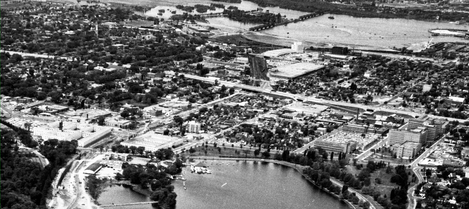
If the main line continues from the downtown to Tunney’s and then goes west to Lincoln fields, there are a bunch of options open. There is the Ottawa River option. This one certainly gets some quick opposition. Some say no one lives there … but there could be lots of walk in traffic from the high rises already along Richmond and the future ones to come. Certainly the LRT stations do not depend on walk in traffic, most will come from bus transfer stations. I find it funny that those opposed to the downtown tunnel quickly dismiss the surface traffic issues (just close the streets to cars!) in the downtown but cannot imagine reducing the Ottawa River Commuter Expressway from four lanes to two so that transit can replace the east-bound lanes. And I am, as always, annoyed at the notion that transit users should be happy riding in a (open or covered) ditch whereas car users must get manicured landscaping courtesy of the tax payers in Ecum Secum and Equimalt. Heck, the ORP used to be the CPR rail line so in some senses we would just be returning to rail transport after a half century automobile-era interregnum.
There is also the Byron right of way alignment, which has lots of transit-oriented redevelopment potential. Yes, I said it. A growing city cannot forever consist of six houses to the acre inner suburbs, but will need to be redeveloped, over time, to higher densities. Same as the houses there today replaced the McKellor golf course, which replaced the farm fields, which replaced the forest …. The current preferred option for this city is to protect the low density single family dwellings on 50′ lots and put the density in high high-rises, but there are other options such as gradual redevelopment of larger swathes of low density areas into medium density, say four storey units. Don’t expect anyone running for office this fall to come out in favour of that!
Another option would keep the LRT from Bayview to Tunney’s to Westboro and then swing it south along Churchill to Carling. Could it run on Churchill on the surface, perhaps replacing the through traffic there (a local traffic lane would exist on each side to service properties), or would it go in a tunnel? If it goes under Churchill (a shallow, cut and cover tunnel) we can expect every other neighborhood to demand it also be burried. This means only the lower income Hintonburg and Dalhousie neighborhoods would have open ditch transit. I guess those lower income areas aren’t lacking in parkland, dog walking trails, or other uses for a covered LRT route.
The stakeholders sitting on the City’s western leg study come from community associations (that’s how I got there) and other groups. One participant laid it on the line in his self-introduction: I’m here to oppose any use of the Ottawa River Parkway. As long as I can remember which guy that is, I can discount anything positive he says about other options because who knows, he may be praising them for the sole purpose of serving his one NIMORP goal. The city has a bunch of its planners on the committee, and the consultants are the same ones who did the first phase DOTT study (which gives us continuity, a common knowledge base, and — silly me — I have positive impressions of their professionalism and knowledge).
The group of stakeholders already had one meeting with the city, and this week is holding another less-formal meeting without the city planners attending. I wonder if anyone will still be willing to talk to me?
Here’s a google map of the route options you mentioned… See you tomorrow!
“I find it funny that those opposed to the downtown tunnel quickly dismiss the surface traffic issues (just close the streets to cars!) in the downtown but cannot imagine reducing the Ottawa River Commuter Expressway from four lanes to two so that transit can replace the east-bound lanes.”
I think that’s a bit of a strawman. I’m not keen on the tunnel, I live near the Parkway and I’m *NOT* opposed to using the eastbound lanes in principle. I don’t think it’s the best route due to the curves it would have to navigate and lack of decent station opportunities, but in principle I’d be happy to see them gone and replaced with transit. Frankly, the buses should be using them right now. It would calm the corridor considerably, though I confess that crossing a dual direction roadway might well be more difficult than crossing two separated carriageways.
Going up Churchill seems a good way to waste a lot of money in construction and a lot of time in travel. But again you raise another strawman: comparing a 66′ street corridor with houses on it to an existing busway trench in a 100′ former railway corridor with respect to how they might be considered for light rail is a bit odd. A more valid comparison would be the hydro corridor from Westboro Station, up McRae, past the Loblaws and all the way to Carling. *That* would be a valid comparison for trenched vs tunnelled in which you can indulge your maligned Hintonburg theme. But then, the prospect of a tunnel instead of a trench in that corridor, were it chosen, seems rather more remote.
I think the best route from Dominion is to follow the old CPR alignment along the Parkway to the area around where the Continental condo tower is going in, and move across to the Byron corridor there.
At any rate, who are these people that oppose both the tunnel and use of the Parkway [on the basis of it “destroying” the Parkway]? I don’t even think Ken is opposed per se – he just thinks the NCC is opposed. And he might well be right.
Running the LRT up the Tweedsmuir hydro corridor is not one of the options offered.
The purpose of the post is to say which options are being considered and offer some commentary on each, but it is not intended to be a comprehensive list of pro’s and con’s. I do not have a preference … yet.
NIMORP
Yeah, I be stealin’ that.
Thanks Eric, look forward to you keeping us posted on this as it develops! (I’m learning already, because I have been following this pretty closely and I had no idea that “Right from the beginning, the consultants have been pointing out that the section from Bayview (or Tunney’s) west to Lincoln Fields could be built and opened at the same time as the main downtown DOTT portion. At least some of the west leg options have no major engineering issues and could be constructed quickly to open in 2017 or 2019.”)
Cheers,
James
Kevin: thanks for the map. Will be studying that in the weeks ahead!
In response to the idea that the Tunney’s to Lincoln Fields section could be built concurrently, that would require some non-trivial changes to the current plan for continuity of service. For example, if the route proceeds west along the Transitway (ORP, or Byron, or Churchill-Carling) then the work to turn Tunney’s into a BRT terminus would not make any sense. And the bus diversion plan that gets buses downtown during construction would need alternate routes starting perhaps at Lincoln Fields instead of just covering the stretch from Tunney’s to Lebreton.
That said, I’d love to see it happen. I’d rather they build more length with fewer stations/km and then fill in as required. For example, drop Hurdman and Cyrville from the current plan and only partially build the tunnel stations (do 90m plus enough room to do more excavation later, or excavate 180m but leave half of it rough and close it off until needed).