

While people refer to the new hospital as a “building”, I think that is just convenient shorthand. It’s more likely to be a series of buildings, built over many years.
The new hospital needs an organizing system, a spine. I drew this blue conceptual line through the site…

The north end of the spine is at the Carling Transit Station, where there is a Trillium OTrain station that will someday be much larger. And a bus stop and transfer point. This end of the spine is also the walk-in point from Preston main street and the rest of the city (more on this later).
The south end of the spine is on whatever road comes into the hospital from Carling Avenue and the Farm Parkway / Prince of Wales Drive. At that end of the spine, I’d put the (underground) parking garage. This end will get little walk in traffic.
Connecting the two ends is a pedestrian street, corridor, organizing spine, call it what you will. I picture it like an major airport concourse, connecting various gates (hospital functions) and offering user services like the gym and food. I picture this as an indoor street, with trees, with hospital buildings lining both sides of it, creating atrium spaces where they meet.
I’d start constructing the hospital from the Carling Station end, because of our city priority on increasing transit share. From day one, some staff will make their next residential choices based on transit access. And we won’t get transit priority if it is a long walk through the woods or grass to the transit stop, or if one spends decades traipsing around construction detours if later buildings are built starting from the south.
The internal hospital “street” won’t be as flat, long and maybe boring as an airport terminal, because there is some interesting topography to take advantage of (the wooded slope being both a fault line and geological feature of national importance and thus protected).
While the pedestrian spine is open to light from above and with views to the side between buildings, I’d put a service corridor under it to move that laundry and toilet paper around.
Here’s my concept view of the spine with buildings built along it, one at a time.

The south end of the spine could start as a surface parking lot, then become a underground garage building (user pay, of course). Building modules near Carling would come out close to the sidewalk. And on the Prince of Wales side maybe right up to the roadside there too. These road-edge buildings would be labs and patient services and offices but not necessarily in-patient rooms.
What I want to avoid is the General campus of a mega complex of confusing corridors and turns and acres of parking:

Here’s the General plus CHEO, with bridges that connect the buildings:

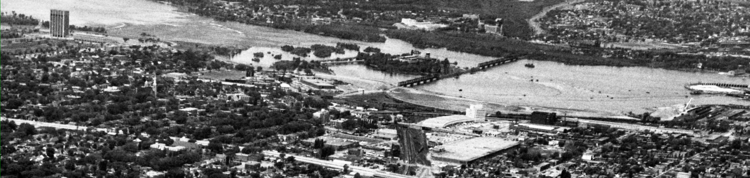
I gather the new Civic collection of buildings will not be as big as the current Health Sciences site. Notice too from the General picture, that the actual in-patient rooms in H-shaped towers are a relatively small part of the site. For the new Civic, these could be located furthest from the busy surrounding roads ** and if on top of the escarpment, with fine views of the Farm, Arboretum, Lake, and downtown skyline.
Notice too how the General more or less pushes buildings into each other. Modules on a linear street, however, allows for the replacement or expansion of buildings over time. It also keeps them separate from each other which will be of benefit in times of terrorism and ebola. Remember sars? I think mega buildings, like the General, are way too vulnerable to disruption. A system of separate buildings connected (or dis-connected) to a spine can better withstand adverse events if this is planned in from the start.
Just because we have had several decades without civil war or much terrorism doesn’t mean the future will be the same. I expect we will see more sars-ebola-antibiotic-resistant events in the future. Be prepared.
______________
** conventional wisdom suggests patient rooms furthest from the noise of the streets. But hospitals are so noisy inside that I never hear anything outside except for the helicopter. So I am comfortable with putting patient rooms beside Carling or POW drive, even if the general first reaction is negative. Proximity to the street will calm traffic and that, in turn, may reduce how many people end up at the Civic.
Next: the Trillium opportunity
I like the concept, but in accordance with my previous comment about moving the O-Train station, I’d actually shift the northeast endpoint of your organizing spine to the Carling-Preston intersection. That would result in the spine crossing the Trillium Line and thus setting a location for the relocated station, roughly halfway between Carling and Prince of Wales. If the station had two station heads, they could be incorporated into the building modules along your spine. The northeast end of the site, east of the Trillium Line where the parking lot currently resides, would be an obvious spot for hospital-related but not exclusively hospital uses like pharmacies, cafeterias, restaurants, flower & gift shops, etc. They could trade on their location both next to a hospital but also next to the tourist draw of Dows Lake.
The north-east portion of the site is such a gorgeous spot, I’d love to get some better use out of it. At the same time, the ground-level views north and south from the north-eastern part of the site aren’t great. So why not just move the dotted blue line about 10 degrees to the right. Have the 30 meter strip adjacent to Preston become a plaza. And behind that would be a 80 meter deep three storey mix of Preston-facing restaurants and north and south facing medico-dental offices. In detail, the first 40 meter strip set aside for restaurants on the ground floor (30 meters indoor and 10 meters winterizable patio).. In the middle of that north-south strip of restaurants would be the ground floor entrance to the hospital complex, leading inside and then up escalators to a second floor set back another 10 meters from Preston, and a third above that, also set back. Equip the patio (open air) portions of the restaurants with gently sloping glass awnings, and movable glass walls so they can continue to use the space in winter.
The restaurant and office area is a three storey building with a central atrium running from NNE to SSW. Between there and the escarpment, a series of connected 3 storey parking garages would be built from east to west. The exterior views from the garages are mostly north and south, and not the best. It’s a good view for a parked car to have.
Aside from the three 10 meter widths of patio closest to the Preston plaza, the rest of the building footprints would serve as three storey bases upon which the initial hospital buildings would be built. Starting from a 62 meter elevation near Preston, and adding three storeys of resto/office/parking base, the hospital proper would have an effective ground floor starting at 74 meters (assuming 4 meters per storey). This puts the hospital buildings level with the land above the escarpment, allowing additional lateral expansion in phases, with unused upper lands providing additional parking if needed until demand requires additional parking structures.
Coming back to that entrance atrium, you would see brightly decorated restaurants on either side as you entered the wide atrium. Inside you would see a mix of retail services (books, candy, ballons, pharmacy, florist, coffee, etc.) and a sets of escalators heading up to the second floor which has a smaller area with more of the same. The third floor probably just has restaurant access, and escalators leading up to the “ground floor” of the hospital and the beginning of the grand pedestrian street Eric described.
TL;DR: Add a restaurants terrace along Preston and parking structures below the escarpment, and build the hospital above