

The City proposes to expand the services on the north-south Trillium Line. This will involve some additional double tracking and extending the service to Riverside South and to the Airport.
As part of this expansion, the City has ordered 7 new Stadler trains which will run in conjunction with the existing poorly-chosen Alstom Lints which will then run with two Lints coupled together to increase train capacity:

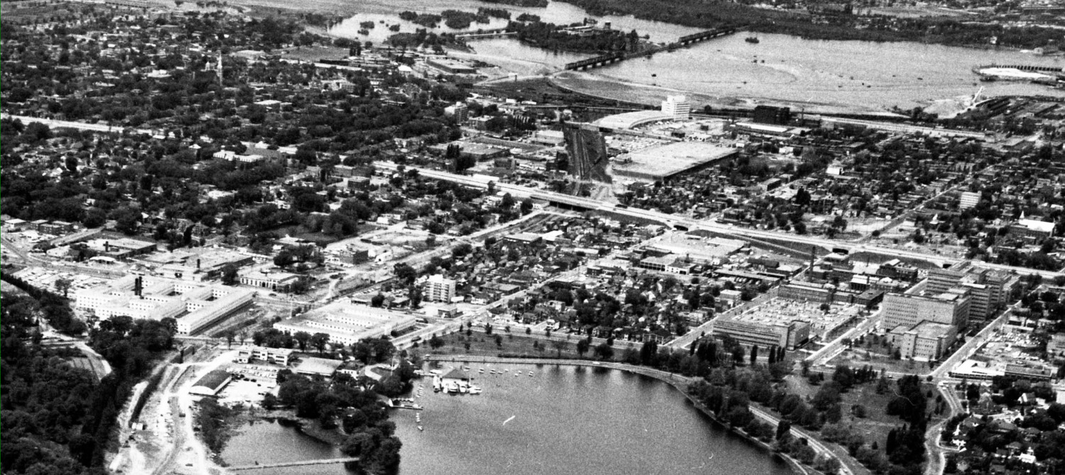
Here is a map showing the extended routes, and the construction time frame. Work commences in 2019 planning and constructing the extensions south from Greenboro, to open in 2022. The existing Trillium track and station work will start in 2020 and run to 2022. This at least a two year closure of the existing service.

I look forward to hearing of the City closing major north south roads for two years while they reconstruct them. Of course, roads don’t get closed, even if they carry as many people as the OTrain. Will we discover that the City is closing Freeway 174 for two years while they construct the LRT down the centre? Unthinkable. But the city speaks with forked tongue when it asks people to arrange their lives, jobs, and housing choices based on fixed transit and then suspends service for years at a time.
Like the transitway detours that somehow ended up providing major capacity increases on the Queensway and the road to Orleans while “improving transit”, the Trillium interim bus service (route R2) will necessitate new road “enhancements” to Preston, Carling, and elsewhere, all of which accidentally promote continuing road usage. Sigh.
Leiper’s vow that the detoured buses wouldn’t go through his ward has come to pass; McKenney’s vow that they wouldn’t all go on clogged Preston, not so much.
At Carleton U, Raven Road will be reopened to Bronson to make a bus loop. The road was closed back in the 70’s when I was a student there. Deja vu …

The new R2 bus detour route will be significantly slower than the train as the bus shares the road with queued-up / gridlocked Preston Street and Bronson Avenue. It will offer some increased access as there will be a new bus stop at Gladstone (mimicking the Gladstone Station). It also will have a lengthy side extension into Billings Bridge Station. Will the increased number of stops and connections offset the negative aspects of the much longer and slower route than the train?
______________________________________________________________________________________________________
At Bayview Station, the Trillium Line will be double tracked. It remains unclear to me how passengers will access the new east-of-the-existing track will access the station without a lengthy walk around the head of the train and its overshoot track, given that the illustrations show no new stairs or elevators from the new east side platform to the Confederation Line up above (shown in the background of the illustration below).

Notice too that the new easterly side track lacks any sort of permanent building; it appears Trillium passengers are back to bus shelters on the platform when they can’t reach the unheated lower level of the Bayview Station. Trillium Line appears to remain a poor cousin to the Confederation Line.
In the foreground of the City’s illustration is a new ped bridge from the south end of the lengthened Phase 1 Trillium platform. This bridge is to be provided and paid for by the development proposed for 900 Albert Street, and will appear when that building complex appears, sometime in the near or distant future. The illustration shows it not connecting to the new east side platform, nor does it appear to have elevators (contrary to the ODA?).
Note that all the existing platforms on the Trillium line today have to be doubled in length to accommodate the new longer Stadler trainsets and the doubled-up Lindts.
The illustration also shows Albert St remaining as four lanes.
The illustration below is from under Albert Street, west side of the Trillium Line, looking south, with Tom Brown arena just a few feet off to the right side of the picture. It shows that folks approaching from the west side of the station will have better, less circuitous access to the west-side Trillium track (but no access to the new east side track).
They can also use the ped bridge to access the Sobey’s proposed for 900 Albert.

Presumably the ped bridge could be continued west into whatever high rise complex replaces Tom Brown some day.
I hope that the drawings released Friday are preliminary and there is room for much clarification and improvement.
________________________________________________________________________________________________________
A bit further south of Bayview Station, half way to Carling, is a proposed new station at Gladstone.
The City’s picture is looking north-east. An artist’s illustration shows the proposed high rise development OCH is planning called Gladstone Village, with a new freestanding French public school building. The back of Preston Hardware is shown to the back right, and the far background high rises don’t represent real buildings existing or proposed, although the OCH buildings may be more realistic.
The Gladstone Station is shown here as single storey, flat roofed, opening onto a new piazza and widened Gladstone bridge. With another granite soccer ball, this time supersized, to go with the soccer balls at the corner of Gladstone and Preston.

Earlier plans had traffic engineers removing the slight dog leg in Gladstone, the better to speed up traffic.
The current illustration shows Gladstone staying as two lanes, with no bus bays, and no complete street amenities either. Surely a cycle track is called for on the north side so corral the different types of traffic and road users, and to enhance safety on the uphill route going west.
There is no clue as to how the east side and west side MUPs will cross Gladstone, along with the bus passengers and peds walking to 300 Preston (Adobe). Signals? PXO? Free for all? Raised intersection? It’s all quite vague for something going to construction next year.
Trinity has proposed a three apartment tower plus offices and retail development for the west side of the Station, along with a new ped bridge to a second level (shown in blue, to be provided by Trinity) of the Station. At least Trinity is forward thinking both here at Gladstone and at Bayview Station, trying to integrate their transit-oriented developments into the LRT network.

Here is a view of the Gladstone Station from platform level

__________________________________________________________________________________________________________
The Trillium Line currently ends at Greenboro. Just south of that station, at the opposite end of the big box mall, is South Keys Station.
It is here that passengers to the airport will get off their train (which continues to Riverside South) and make a cross-platform switch to the shorter shuttle trains that go to EY Centre and the Airport.

The Station is to have timed transfers so that there is no waiting for the next shuttle, which simply runs from here to the airport and back on a single track (there is provision to later add a second track).
The station is convenient to the big box mall adjacent, and via an underpass, to Sawmill Creek parkland and via the ped bridge over the Airport Parkway/Parkinglot to other residential neighbourhoods.

The City’s presentation did not address bus transfers at this station. Their illustration shows the existing transitway and bus stops still in place.
_________________________________________________________________________________
The shuttle trains to the airport will go south from South Keys then head west to pass by the northern edge of the EY Centre, leaving room to expand the EY Centre. There will be a station here called Uplands Station. The EY Centre is immediately to the right of the illustration below.

The roads accessing the EY Centre will be rejigged, to provide better bus access to the Centre and then to the new Station and back out to Uplands Drive.
I have heard nothing more of an earlier concept that the EY Centre northward expansion would physically connect indoors to the LRT Station.
The illustration shows a very simple station, no elevators or stairs, but a ramp, with bus shelters on the platform. The Leitrim and Bowesville Stations are a very similar basic design. The new station will gets lots of crowd use after EY Events (like concerts or Comicon) but these drawings don’t show much room for crowds or enough weather protection to make transit attractive.
The illustration shows a double track and a Alstom train painted up like the Stadler ones.
At the new Airport Station, the train will approach the north end of the existing airport terminal (the US – transborder section), with direct access into a Terminal building expansion and reconfiguration. This is a much better design than the earlier ones that had the train arrive at the parking garage.
This illustration is a “placeholder” only, the City advises it is already considerably out of date:

___________________________________
Next: east side design
I think that there could be considerable risks to the City/taxpayers from awarding the north-south extension contract to SNC Lavalin. What happens when they tank or get taken over by a foreign concern that cares little about their reputation in Canada? We have seen buildings stand around half-built, decaying, when the developer goes belly up. So lets say the risk of one of these two future SNC states is 25%. What is our plan to manage these risks?
CBC reports that Mayor says that there is no risk — flat out denial of risk. Also he says that “obviously” there are no integrity issues with SNC in Ottawa. Why obvious? I think it is obvious that we need to be extra careful.
I would hope that the proposals from bidders, have more detailed drawings of what they have to provide. Hope this projected extension is not jinxed by the successful bidder.
I somehow also hope that people (councillors and the mayor?) will realize the fact that on a per KM basis, this is a much more cost effective approach to the whole rail transit plan. Hope hope hope …
The R2 doesn’t actually stop at Billings Bridge; it just accesses the Transitway there. That is the same as the current route.
The Raven extension looks promising; I assume it will be left in place after Trillium re-opens and it should help the other routes that access Carleton from the south (111 and 104- future 10).
I agree that there is not nearly enough detail provided about the MUP facilities and the crossing features that will be provided at places like Gladstone. The Trillium extension is supposed to feature an extension of the Sawmill Creek Pathway from South Keys to the end of the line but there are no maps, pictures, nothing.
Brad: re lack of detail on MUPs, intersections, etc: This is always frustrating. On one hand, maybe these things are budgeted for and will be designed (with consultation) after the major project is approved. Or, the city may say they budgeted only for what was shown and what we want will cost more. You never know with the city if detailed comments are too early or too late.