
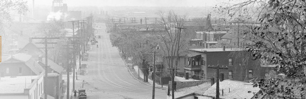

The new Gladstone CDP planners had a new community group to deal with this time around. Distressed at the treatment of the low rise neighbourhoods south of the Queensway in last year’s Preston-Carling CDP, and seeing the same fate coming their way, residents of the dead-end streets organized themselves. The idea was to influence the study to preserve their family-friendly low rise streets: BLISS – believe in livable sidestreets. Did George and his neighbours succeed?
There are several issues in preserving a low rise area. One is strict zoning (but the city can change that anytime a property owner asks). Another is traffic: the dead end streets are attractive to families because of the slow traffic and low flow volumes. Another complication is that the city plan is subject to change if it doesn’t meet the requirements of provinicial legislation that require intensification near transit station, so the OMB can over ride city rules.
In Option 2, the plan actually expands the low-rise area westwards into the property now held by the Feds. The dead end streets would be extended west another block, all the way to the OTrain corridor:

In the plan above, the OTrain corridor is marked Number 5, where a pedestrian bridge has long been identified as desirable. The blue zone is four office towers on connected podiums at 1010 Somerset Street, the federal property. The back half of the Federal lands have been used to make a parkland corridor between Plouffe Park and the Plant Rec Cenre over to the OTrain and for low rise development.
The three dead end streets (Oak, Laurel, Larch) have been extended west one block, but still remain dead ends. A laneway / mews / narrow street (number 6 on the plan) has been introduced. Squint hard at the plan and you’ll notice the original housing area shows regular deep lots backing onto a partially-open laneway. The new yellow housing area is subdivided so that there is a 4 storey building facing Larch. It is back-to-back housing or apartments, with the back units facing the laneway, then there is another back-to-back building along Laurel. This would achieve a quite high density, while in a low rise (stacked townhouse or low rise apartment) format, but would in no way look or feel like the 1902 housing on the older streets (times have changed !).
The “back” units of the new housing would use the new laneways for access, probably pedestrian only. Most likely, the City would insist on reopening the lanes, if only for pedestrians, right out to Preston.
This is the first time the City has responded to community demands for high density low-rise housing instead of all-concrete mid and high rises. Unfortunately, it is not their preferred option for the CDP plan. And the Feds may not like the price that zoning would attract since they are selling off the land.
In Option 3, the City preserves the low rise streets but intensifies the Federal lands with mid rises of 5 – 9 stories. They aligned the new and old street patterns, but left the grid disconnected for cars:
(Somerset runs across the top of this drawing, Preston is No.5)

There is still a pedestrian-cyclist overpass over the OTrain cut. One or possibly two new streets have been driven northward to connect to Somerset, both of these streets are on the Federal land (dark blue, for office towers), which makes that land owner unhappy (too many roads). The dogleg section of road running downwards from Number 4 is also redundant since the mid rise properties already have two or three road frontages. Plouffe Park has been connected to the OTrain corridor.
Option 1 also preserves the BLISS area as low rise. It puts a large park on the Federal lands, as per city planning habit. It makes up for the lost development opportunity by then permitting higher buildings along the rail corridor (10 – 20 stories):

In the City’s planning Option 1 the bridge over the OTrain (shown as number 2 on the drawing) is now a full motorist bridge. The City claims this will be for local traffic only, but it will make a new connection for rush hour commuters to get from Bayswater to Preston to Gatineau. As a pedestrian and cyclist link it is a much-desired element, connecting the Hintonburg neighbourhood with a regional recreational facility and Preston mainstreet.
The triangular park is welcome. It would not be large enough for playing fields. It is a drawback that Oak separates the two parks. Some severe street narrowing and calming might rectify this somewhat.
The connection of Oak north to Somerset looks redundant to me. It would be better to have some sort of link — possibly not continuous for through motor traffic — extending the new road north along the new park to connect to Somerset Street at City Centre Avenue, as this is a desire line.
The City has delivered some nice options for the BLISS residents, which shows the value of organization and proactive involvement with the CDP process. Get your options in early.
Just put Oak St. into a tunnel along that section. How much could that possibly cost? 😉