
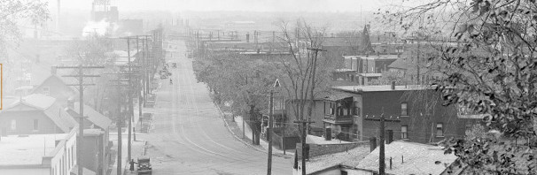


Double click on the map to enlarge it, and scroll around it for a bit to explore Ottawa in 1895. Notice the area called “Dalhousie” – our community name goes a long way back.
Notice that a number of streets have the same name. The Queensway is still a railroad right of way. Carling Avenue is simply “Macadam road”(Macadam invented asphalt paving). Notice that Gladstone doesn’t exist, but many of its segements do, which goes some way to explaining why that street twists and curves the way it does as it connects up bits and pieces of older streets on not-quite-matching grids.
I also like seeing the lost creek that exits Dow’s Lake and travels down what is now Preston to Nepean Bay. At some point, this creek was swallowed up into the brick sewer built under Preston Street about 1898. The construction of the Somerset Viaduct just west of Preston raises the ground level enough to prevent the entire Preston basin from continuing to drain towards the River, which resulted in a century of flooding basements during heavy storms.