

The western extension of the LRT used to have a high-profile, but has been out of sight for a long time. No public advisory group meetings for ages.
Some of the low profile is understandable. They were clearly doing some very detailed planning and costing exercises, so that a fully informed decision can eventually be made. Decisions made in haste, or under the barrage of emotional or superficial criticism, are seldom good decisions.
Today’s Sun has a story that the Carling option is dead, due to cost.
Recall that there are three main route options: Carling, Richmond, or the Parkway. For each route, there are sub-options and variations galore.
The Carling route has always been the most expensive to build, offered the slowest service, which therefore requires more train sets running to maintain the three minute headways. Expensive to build, expensive to operate, and probably less attractive to suburban commuters. And I always felt the proponents underestimated the disruption that route would cause to businesses and residents along the corridor since many of the minor cross streets would have to be closed. Carling would become something like a two-way pair (think Albert and Slater) for motorists. Sacrificing the local is not the recipe for a successful main street. On the other hand, the city does plan to eventually upgrade transit along Carling, probably with a local-service style LRT, and some think that combining the two types of service would be economical (I’m totally unconvinced).

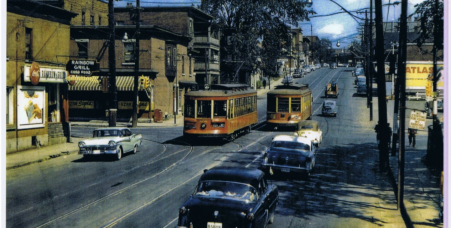
The Richmond corridor route would reuse the transitway trench from Tunney’s to Dominion. The LRT would then travel a few hundred yards along the south edge of the parkway, possibly just to Rochester field (beside the Keg Manor restaurant) where it would shift south to take over the south side lanes of Richmond Road going west to Lincoln Fields. It would nibble away at a few bits of the Byron dog-walking park, but most of the route would be on the Richmond Road space, ducking under Woodroffe. There is lots of potential for intensification on the north side of Richmond: picture new highrises like the Charlesfort one just built at Cleary, replacing most of the Mac’s Milk plazas, car dealerships, and Rogers Cable that form such an undistinguished parade between Richmond and the Parkway. As our Mayor said last week, picture high buildings. Lots of very high buildings.

Much is being made of the refusal of the NCC to give up the Parkway. But a lot of that opposition dates from several years ago, and the NCC is much more self-aware of its 1960’s auto-is-king mindset. They are now open to removing car lanes in favour of bike lanes on Wellington, and recognize that transit will be used by the majority of people going downtown. Bill Clinton and the Queen may not be taking the LRT, but the Ottawa River Commuter Expressway would remain for them. Possibly, though, it would be a two lane road west of Island Park, like Colonel By Drive, instead of a four-lane divided arterial. Put in a few stops along the parkway, and the LRT would offer almost the same level of service to an intensifying Richmond corridor. So I don’t think the NCC’s opposition to the Parkway route is a firm today as it was a few years ago.

Now, lets look at the politics on the table. The NCC wants an iconic arrival station at Confederation Square. The City says that will cost $50 million to build, and will require some additional train sets to maintain the same frequency of service. If the ORP route is at least $50 million cheaper than the Richmond Road route, doesn’t that suggest there is room for a trade-off?

I don’t know what route the City and its partners will choose. My preference is Richmond Road, as it offers the most city-building options. Mind, I think it should adopt the Richmond Corridor right from Westboro Station, and the City has already ruled that out the McRae jog over to Richmond. Alas, no President’s Choice station at the Westboro Loblaws.
I don’t see buckets of money coming from the Feds or Province any time soon, so I think we will have to self-finance the western LRT, ie get the winning contractor to design-finance-build the western extension and get paid back over 20 years from the development charges levied on all the new high rises along the route. If this was done, we could get the western LRT opened very shortly after the downtown section.
amen
I think the O train station for Parkway access trade is a great idea. The NCC might be further swayed by a grass rail bed and trains with big windows so as to minimize the impact on the sacred view of motorists on the Parkway.
I still think Richmond is the only sensible route.
A couple things: the city quoting that “$50 million” number does sound alot like “naming their price” — but I’m not sure what trade-off they have in mind. Running it along the parkway sure would be a waste. Put it this way: I don’t own a car and the part of Richmond west of Dominion is totally foreign territory to me. If the LRT goes along the parkway, that would probably continue. I don’t know how representative I am though (probably not very…)
Secondly, is there any plan to run trains out to Kanata? This whole debate, absent any concept of a rapid transit NETWORK, gets a little foggy. If there IS a plan to run trains to Kanata, wouldn’t Hazeldean -> Robertson -> Richmond -> Carling be a logical route? So…it makes sense not to run the current line down Carling, but rather have a transfer at Lincoln Fields? I really don’t know how you plan a network one line at a time, all independent of each other. Or is this current line essentially Ottawa shooting it’s transit load for the next 40 years?
I don’t think going out to Kanata is on the horizon. Last I heard it was left as a possibility only to placate the suburban councilors. I suppose things could change but I would be happy if it got to Bayshore in 40 years.
No, they’re not planning on going beyond Baseline in the West or Blair in the East before the “full 2031 buildout” plan. The rest of the network would still be busways, many of which are still yet to be built.
However, Kanata folks prefer the ORP route, not because of anything there, but because the absence of anything there means fewer stops and a faster trip through the inner city (where we are supposed to be intensifying…)
So, according to the current TMP, this line (extended to Baseline) is all we can expect for rail transit for the next 20 years. Is that correct?
I have lived a fair number of places in the U.S. and Canada (and am relatively new to Ottawa). Ottawa is absolutely one of the most affluent places I’ve ever lived (as measured by the median), and probably aims lower than anywhere else I’ve been…
If I were king: building one line, planning the next. Debt for city building infrastructure is always allowed — in my mind…
evensteven, welcome to Ottawa. *sigh*.
evensteven – essentially yes, that’s correct. Also the south extension (by one stop, for $400M). Ottawa is a bus town, and that’s why $1.5B of the “$4B Rail Vision” to 2031 is for 65km or so of busways.
@Charles-A-M: Continuing to build busways once you’ve committed to rail just to go through the pain of conversion again later. Everyone knows that’s nuts, and yet there it is.
I think these routes are sensible options and if they did the detailed analysis to finally slay the Carling option it will be worth the time spent. I don’t much like the horse trading idea between the NCC and the city. I think the current Rideau location is superior as is the Richmond route, so having the city give up both the superior Rideau location and the superior Richmond route in order to save a few million dollars doesn’t sound like good value for money. Fortunately I don’t think the timing works. They aren’t going to be making a decision on the western parkway right away but the location of the Rideau station can’t really change once the contracting process is underway.
The ‘tradeoff’ I think Eric is referring to is not to eliminate the Rideau station, but to add a fourth station downtown, i.e. so stations are roughly at Bronson, Bank and Elgin, instead of halfway between these cross-streets.
Yes — all I know is what I’ve read in the papers, but it really sounds like the city is saying to the NCC (and feds in general): “give us an additional $50 million and you can have your ‘gateway’ station”, in addition to the Market station. The thing is, I don’t think $50 million will totally cover it, but it seems more like the largest number the city determined they would have a reasonable chance of getting…
Actually, the City is pretty adamant about not building an extra station (I think an extra station is a good idea BTW). The “give us an additional $50 million” started at $20-30 million when the Gillins first proposed it. Even if someone put forward the money, they’d find other reasons to reject it–the talking points are already out there.
Ideally, we’d build along the NCC’s highway, and begin developing along the waterfront as well. Ottawa is, believe it or not, a waterfront city; we just manage to hide it very well.
Do not speak of the Liquid That Must Not Be Named!
It is interesting that the Byron-Richmond Corridor is the original Transitway corridor that was never pursued mainly due to political issues. It seems that when potential higher density development becomes possible, the political issues disappear and any possible residential issues and concerns are not as hard to deal with as before.
Fraser Pollock