

Remember your grandmother’s dictum to never say anything bad about the dead?
Well, what about the living?
I’ve been struggling for days to find something nice to say about the Public Realm and Driving Realm studies the City has underway in the Preston-Carling area. You know, the big studies promised by Council, employing consultants from The Centre of the Universe, who will make the veritable snowstorm of high rises now permitted in the Preston-Carling area into urban nirvana.
Now the consultants are nice people, individually. They no doubt think they are honourable people (Shakespearean allusion there, get it?). Educated? –very! Good looking to boot. And they talk in low tones of moderation and controlled calm, just like you would to truculent two year olds having a tantrum in the candy store.
And they fully and completely in the course of an evening “previewing” their study recommendations to a group of local invitees, amply demonstrated why the unwashed masses can’t trust anyone.
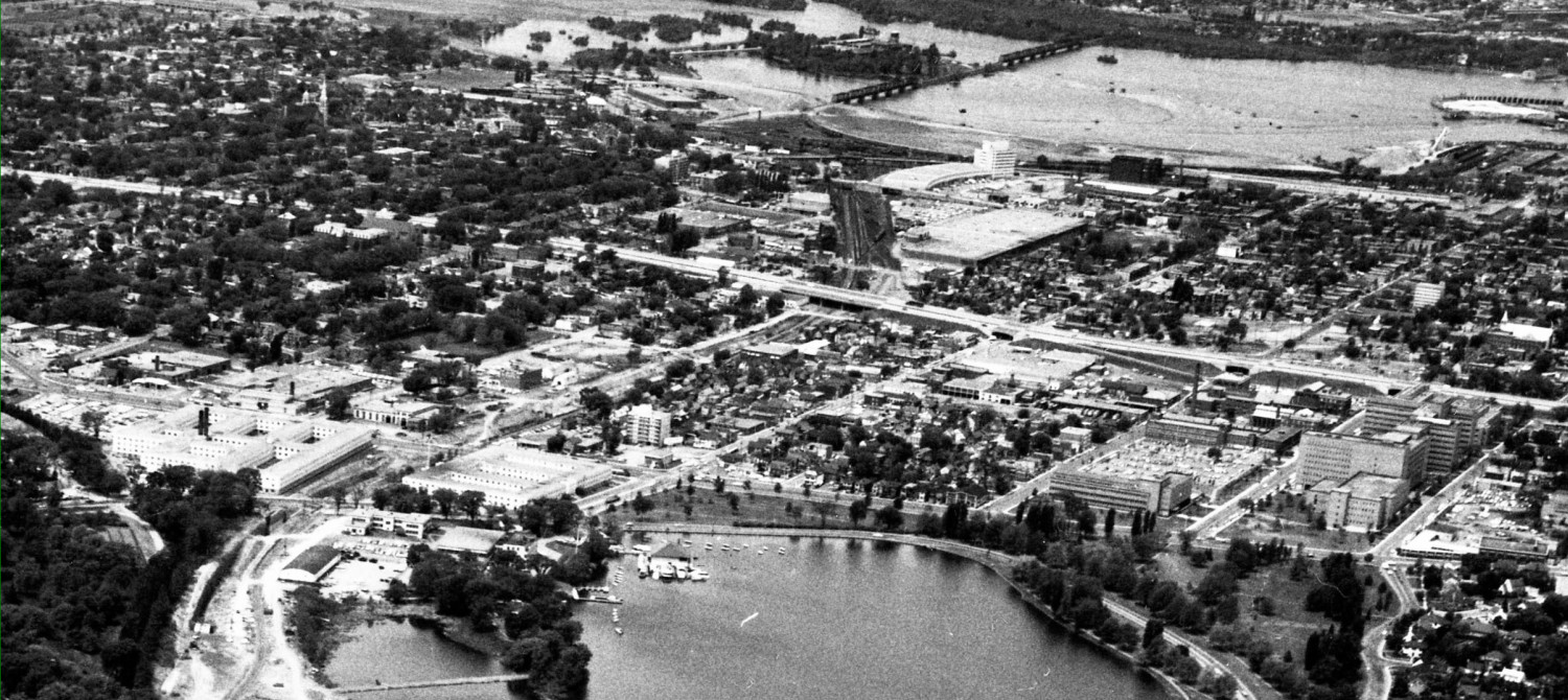
They have a “driving realm” study. Here’s the key drawing:

The transportation planner at the show wasn’t the same one that was such a negative hit at the last session. Ron Jack did his best nothing-to-get-excited-about voice. All the changes, he repeated over and over, were necessary to allow the old and new residents to get about smoothly and efficiently over the course of time as the twenty or so high rise towers get built.
Key change #1, move the traffic signals from Pamilla to Adeline/Preston. Just a short block.
He assured us this didn’t mean a boulevard would be required down the centre of Preston, or turning-stacking lanes constructed, requiring the removal of the still-fresh pedestrian landscaping. No, those things are only being discussed, are not necessarily going to be there. Just calm down and wait.
Until they are a fait accompli? Sorry Ron, the time to object to things is when we hear about them, before the bureaucrats decide on a course of action and dig in their heels. This simple relocation of a traffic signal has huge consequences you can’t just paper over (I’ll come back to this point below).
Key change #2: a (longer) left turn lane on Champagne, approaching Carling. This stacking lane would be required due to increased development (from condos that won’t generate any noticeable rush hour traffic, claimed Ron, why you could sit outside a condo garage to count cars at rush hour but be sure to bring a book and a big coffee because you’ll be very bored, there just isn’t much traffic…). That stack lane would extend back a bit. Probably all the way to Hickory Street.
Now the condo towers proposed in this area are very big, and on very small lots. There isn’t much green space or breathing room around them. But that’s OK, we’ll take up even more of that room with a longer asphalt queueing lane. Plus parking on the side(s). Those four or five lanes will be sure to enhance the residential feel of the area.
Key change #3: open the median on Carling at Rochester to make it a full intersection. That, Ron assures us, will allow residents on Champagne to go out to Carling, then to Rochester, then to the Queensway westbound ramp “which is under capacity” and avoid going along Sherwood.
But why wouldn’t they just go along Beech to Rochester? Wouldn’t it be shorter? More direct? Quicker, avoiding several sets of lights? And cheaper for the city? Won’t Beech now be a collector street status, allowing it carry much more traffic?
Well uhhh … and we’ll revisit this bright idea further below.
Key change #4: allow a right in-right out laneway where the CIBC bank driveway now is, adjacent to the Dow Honda site.
That’s it folks. Four key changes. Only four key changes. All for local benefit.
The following don’t seem to be of sufficient stature for the planning gods to consider key changes. You may agree.
Non-key change #1: designate Bayswater between Gladstone and Carling as a Collector Street. Making it eligible for lots more traffic. Nothing to see here, folks, move along.
Non-key change #2: Make Adeline, currently a short dead end street running west of Preston, into the main vehicle entrance and exit to the Richcraft three tall towers on Sydney Street (two 40-ish towers, one 18-ish, but always avoiding their planned fourth tower of nine floors on the north side of Adeline); the main entrance to the someday redeveloped CIBC 45 storey tower (it won’t stay a drive-thru bank for ever); and to the Soho Italia 30+ storey tower.
What about the impact of all this traffic on a now-quiet residential street? Oh, says Ron, I’m hired to plan from a transportation perspective not from a living-on-Adeline perspective.
Really.
Non-key change #3: there is no car bridge shown connecting Adeline to Hickory. No doubt the planners sense a red-meat issue. So just leave it off the map. But make sure that all infrastructure will be provided so that a bridge can be constructed “in the fullness of time” because “the area west of the tracks wants to be connected to the area east”. I haven’t heard such geographic determinism for decades.
To this end, the new Hickory ped bridge over the OTrain cut has been shifted — no community consultation required — either north or south (the direction varied through the evening) to make way for the car bridge.
Did I mention Richcraft views the car bridge as essential?
Did you notice that parks and fancy urban streetscaping improvements are well marked on the maps (see next story) even if they are far off in the future, but this well-planned-for new road isn’t. No double standard here, folks, just standard planning practice.
Non-key change #4: note the dotted line in the bottom left part of the map. It’s a “conceptual connection” from Prince of Wales to Sherwood Drive. It’s been off and on City OP’s since the Greber Days when it connected to the Champagne Freeway which connected to the Airport Parkway …
So, it’s back on, again.
Now a month ago, these very same planners insisted that this did not necessarily mean a road link. It might be a bike path. Or a walking trail. Although it was shown on the Driving Map. And maybe at each end there would be an accompanying driveway to access those high rise office buildings or whatever the Feds put on their green lawns there that continue — as they have been for decades — zoned for multi use development.
This week, it’s back to being a definite road. Required for access to the government sites. Someday in the future. Now, however, it might be two, or four lanes. With on-street side parking. Ron even knows the signal phasing changes to make to the Sherwood intersection, that being part of what the City contract wants from him.
I somehow suspect we aren’t planning a far-off road.
Non-key change #5: Preston – Carling intersection. This intersection is at FAILURE, Ron tells us, his voice rising in incredulity at the indignity of that. We can’t get all these people (who won’t be using cars, “except on the weekends”) to their apartments and condos!
He has the traffic counts for the various movements at this intersection right on the tip of his tongue. He jots them quickly down on the big map.
It is now perfectly clear to us attendees that far from being a “neighbourhood movement” plan, there is a city-wide component too. Why, just divert a bunch of that commuter traffic from the fast-growing south and Riverside South neighbourhoods that want to get to the Queensway, directly down Sherwood Drive. Avoid the Preston intersection completely !
No, says Ron, we misunderstand. The City will put a traffic arrow at the Sherwood intersection, maybe preventing through movements. But alas, he can’t promise that won’t change when the road is built, or in the “fullness of time”.
Civic Hospital residents may be aware of previous City promises about a park(ing) block on Ruskin. City promises are not binding on future councils, future OP’s, and there are no penalty clauses for failure to keep up their end of a bargain. But the now-retired councillors will continue to collect their pensions and board appointments.
And double-wammy, Non-key recommendation #6: that traffic going from the south of Ottawa to the Queensway, or downtown, or Gatineau, and all that Gatineau traffic going to jobs in Ottawa, why they’ll have a much easier time by opening up a parallel route to Preston and Booth, both currently at capacity. Let’s hear it for that under-appreciated Rochester Street !
We’ll have a new Holland-Parkdale pair of over-loaded streets, but it will be triplets: Preston-Rochester-Booth.
And to think that this recommendation to turn Rochester into a giant queuing lane for the Qway and through street for Gatineau commuters, isn’t a key change. Nahh.
Now I do hear rumours, hopefully false, that some residents of the Civic Hospital neighbourhood are anxious to prevent more traffic on Sherwood. To protect the million dollars homes there, they suggest deleting the connection to Sherwood, but adding a new one from Queen Elizabeth Driveway to Rochester, making it so much easier for city-wide traffic to render their neighbour’s neighbourhood less liveable. And no one will notice the new four lane road through the centre of the NCC tulip festival park. Or maybe even another one through the park to Booth. Surely the lower-income residents of Dalhousie ward don’t have the same sensibilities as the rich do.
And the planners seem to agree.
Non-key change # 7 : the (in)famous “mews” streets. Last month, the Planners from The Centre of the Universe tried to sell us on the convenience of having the dead ends connected along the OTrain corridor.
It was panned. The meeting ran out the clock, so there was no lynching.
It was also an obvious non-starter as it envisioned the City buying up the houses, demolishing them, building the streets, etc but somehow not disturbing the land assemblies already made by developers, as this would impair these wonderful new towers.
Now, the Planners acknowledge the city isn’t going to pay for that.
But, we will let the developers do the dirty work. The plan would “encourage” developers to acquire through lots, ie assemble lots facing two streets, so that a “mews”, or “laneway”, privately owned and maintained, but publicly usable, would be built. Presumably as a condition for their upzoning.
How big would these mews be? Well, sez the Planners, look at the Richcraft proposal for a windy brick street. Two directional. With parallel parking on the side. So, at least three lanes wide. Sidewalks, anyone?
This continues the city’s fixation with encouraging large land assemblies from these tiny residential streets, so that mega-buildings will work. It pretty much condemns the remaining housing stock to speculation and running down. Sort of like “red lining” did to minority neighbourhoods in the 50’s and 60’s.
Hey, it worked back then, why not try it again?
What if a developer has a chunk of land, plans a big building on it, but doesn’t have the requisite through lot? Well, “some adjustments” will have to made elsewhere. I think that was code word for “build the bloody road on the OTrain path right of way, the locals won’t notice the disappearing park land.
The way to accomplish this is to separate the rezoning application from the site plan, which details how to access the new tower. This is the exact course the City is following with Taggart’s Norman Street tower. Rezone. Let site plan figure out the access later. Wanna bet the city will ever say “sorry, the site plan won’t work”. The whole point of separating a problematic rezoning from the site plan is to force the unpalatable as “necessary” once the rezoning has been made.
Non-key change # 8 : landscape the Carling median. The Planners had a wonderful drawing of large trees growing down a wide centre median of Carling Avenue. Raised planter beds would give the trees lots of root room. Gone, out of sight, was the previous meeting’s proposal to reduce Carling from three lanes in each direction to two, to allow for more landscaping and a better curb-side environment for peds and cyclists.
But exactly where is that wide median going to be once the new, longer turn lanes go onto Carling? There will scarcely be any “wide median” left. Just little bits of narrow median. Paved in concrete. Or maybe brick, for that Parisian atmosphere.
Oh well, sez the Planner, we’ll recommend the wide median treatment all the way from Dows Lake to Holland … so the planters might not actually appear in this planning area.
Really.
non-key change # 9 : on-street parking. This recommendation was buried away, requiring careful understanding of the drawings. It will cause some to go ballistic. But since I agree with it, I’ll not blow their cover. You can try to suss it out yourself.
But how anyone could consider it not a “key change” is beyond me.
There will be a re-run:
If you are disappointed you missed the theatricality of the Planners Carefully Modulated Voices and Rational Presentation, the slipping and sliding on the Condescension that practically fogged the windows and our glasses, there is another chance. They will be revealing all this — ta dah ! — or maybe just a few key changes, at the public meeting on October 8th, at 6.30 pm, at the St Anthony banquet hall (not the church) on Preston by the Queensway.
Next: the streetscaping. The urban amenities. The public realm. Paying for it all.
If you want to understand the way city planners work, read up about Inez Margaret Gloyn.
Seems she, her husband and parents bought a house at Byron & Kenwood, added a nanny suite that turned into a non-compliant semi, and went back to the city after the fact.
Who is Inez? Why, professionally, she works under the name Bliss Edwards, a city planner for Ottawa.
So, the planners who already never met a podium they don’t love also break the rules when they do their own projects.
http://www.leaderpost.com/business/City+planner+infill+project+needs+zoning+exemptions/8969521/story.html
http://www.ottawacitizen.com/business/City+planner+moonlights+developer+reassigned+after+community+complains+conflict/8988081/story.html
Have not completed reading the page but one item stands out. Preston south of Carling is two lanes. One the north side of Carling these merge into a single lane halfway to Adeline.
Given the presence of another traffic light at Adeline I suspect you will see massive traffic backups. A significant amount of rush hour traffic comes along the QE Way and then packs into Preston.
The solution to the problem is just to widen Preston to four lanes. Rip out the sidewalks for a Bronson II. Everything for the automobile.
/sarc off
Widening Preston is exactly what the planners are now talking about. They propose to construct a “stack lane” or queueing lane for left turns onto Adeline by using the current thu-traffic lane, and letting thru traffic pass around them using a new lane on the right, where the landscaping now is. This would make the curb lane northbound on Preston the busy and fastest lane, from Carling to Adeline, which in turn makes the sidewalk environment even less pedestrian friendly. All in the name of progress, of course.
Doubt the stack lane will solve anything. South of Carling Preston is two lanes for a total of 900 feet or an estimated 45 cars at an average car length of 20 feet (given the need for between car separation).
North of Carling Preston narrows to one lane. The distance Carling to Adeline is 350 feet or an estimated 17 cars.
There is no way you are going to fit 45 cars into a space capable of holding 17. This does not account for the additional traffic coming off Carling from both the east and westbound lanes. Nor does it account for the fact that at present the traffic backs up both on PoW and the Driveway. So add another 50 to 100 cars into the wait stack.
Nor does it account for the fact that given the density of the development the size of the Adeline left turn holding pocket will not be enough to hold the traffic of those seeking to return home.
I think the solution is to put a number of bus stops on Preston just before Adeline in order to service the Carling O’Train station. /sarc off
Somebody needs to ask the fire and other emergency services how they propose to navigate this logjam. And future condo owners want to contemplate a cardiac event and a two hour response time.
Preston at Adeline would be a good food truck location. Between the stopped buses, firetrucks, ambulances, and stalled commuters it should be possible to locate a few hungry customers. Given future traffic conditions the customers will likely have time for a full 5 course meal.
Just went and checked Google maps again. Last time I drove the Driveway at rush hour the traffic was backed up to Lakeside which is another 2000 feet of waiting cars or about 100 vehicles. In a prior post on cars obstructing cyclists there was a comment about drivers on PoW endangering cyclists as they tried to get around the stalled traffic waiting to enter Preston. Another 100 cars stacked on PoW would not surprise me.
So basically we have a queuing function in which we attempt to pass over 250 cars through a gap which can only hold 17 cars at a time. The planners should be able to give a time estimate on this. Planners study this in school. The course is called Passing the Camel through the Eye of a Needle. Or Bamboozling the Public. One or the other. Perhaps both.