
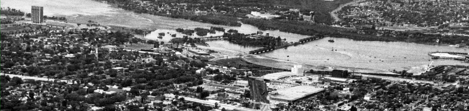

Being computer illiterate, I do have some problems sometimes getting maps or illustrations out of reports to paste into these stories. So, here are some larger, hopefully clearer and more detailed illustrations of what George Dark and our planning dept (and developers) want to see in the west side Preston-Carling Little Italy neighbourhood.
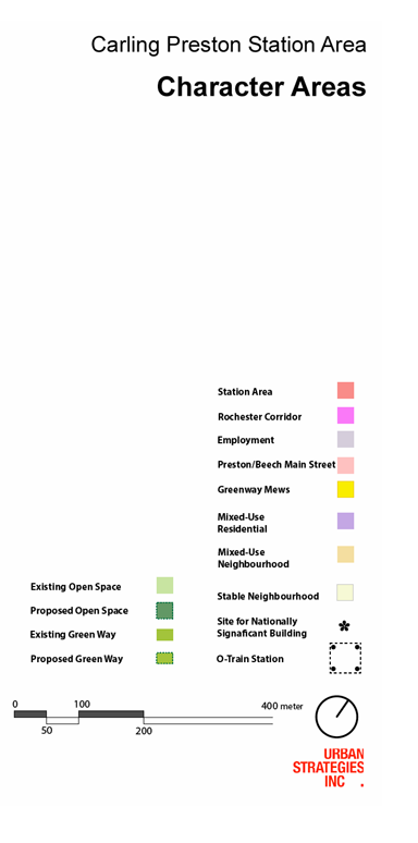
Alas, I cannot make “live” links to outside websites or previous posts (somehow, the blue letters that make links live don’t work for me…) and for these maps the key is a separate picture from the actual map.
Here goes:


__________________________________________________________________

_______________________________________________________________

 ____________________
_______________________________________________________________________


______________________________________________________________________


This is what you get when you hire a Toronto developer to prepare a community plan inOttawa. I live in this neighbourhood, and it appears that not only has he provided a plan that will please developers, but he clearly doesn’t know the area. To begin, he’s designated a parking lot that is part of the Government of Canada buildings as green space, and has also proposed mixed use residential 6 storeys in block on Beech that already has 9 and 12 storey office and apartments. Wow, good job.Did this guy even come to Ottawa before he did his plan?