

This will be the first of several posts on the western portion of Ottawa’s LRT project. While some commentators insist that the current DOTT project is too short/too long/too wrong, some observers usually skip over that the Tunney’s to Blair portion is just the first part of a multi-phase LRT build-out. The temporary western terminus of the first phase LRT is at Tunney’s because the DOTT LRT piggy-backs on existing environmental approvals and studies. It would delay the DOTT portion for several years to try to build it all the way to Lincoln Fields in phase 1 due to the studies required for the “new section” west of Tunney’s.
If the eventual chosen route for the western portion is the Ottawa River corridor, then it could, given political will and funding, possbily be opened at the same time as the DOTT portion, as that route has minimal complex engineering structures. Not that I am confident we will chose that option or that we could move that fast … and as I expressed before, I think even the DOTT portion could readily be accelerated to open July 1, 2017, Canada’s 150th. Indeed, if Jim Watson wants to prove his managerial prowess and do more than just complete his predecessor’s big project, he has to have some game-changing moves, a good one would be to deliver the project on budget (and the current estimates have tons of slop room in them) but two years earlier.
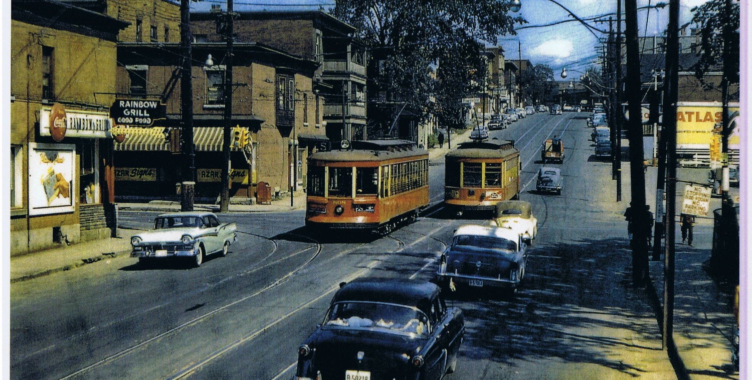
There is an ongoing study on how to get from Tunney’s to Lincoln Fields. To identify as many options as possible, the study zone starts at Bayview and extends west to Lincoln Fields. All options then use the Pinecrest Creek corridor to College Station at Algonquin/Baseline/Woodroffe. I was interested to hear the lead consultant last week talk about how the LRT could do more than just reduce the need for new roads (or widening roads such as Richmond). He talked briefly about the validity of examining how new LRT could REPLACE EXISTING roads. While he didn’t spell it out in detail, the obvious candidate for replacement is the Ottawa River Commuter Expressway, or two lanes of it. The LRT could be added to the corridor along with the existing four lanes of expressway, but this uses up more land. It might instead be possible to remove two lanes and replace them with the LRT (albeit with different geometry requirements for rail vs road). This ties in with current progressive transportation thought that
- favours moving more people over moving more cars
- this might mean removing some road infrastructure, and
- the 1950’s and 60’s thought pattern that underlaid the original ORP and NCC idea that we can enjoy nature best when seen from private automobiles, might be wrong and need correcting.
To this end, the study has examined the sensitivity of the total transportaton need in the west, and found that removing some planned or existing car lanes would not cause traffic chaos. These lanes need not be the Ottawa River Commuter Expressway, of course, they could be Richmond Road not being widened, or Byron being rescued from its current role as a parallel through street, etc etc.
The western LRT serves two markets: the longer-haul commuter market that wants to get to major transfer points and major work destinations; and the shorter-haul local transit market that wants to have more stops to get closer to more destinations. About two thirds or three quarters of trips in the western study zone are for those through trips. Long haul trips being the result of our city’s choice to encourage suburban development serviced by express buses on a BRT spine. As Haydon pointed out in the recent election campaign, it will be difficult to offer the same directness of service as express buses offer [at great subsidy per passenger] with a LRT service that must collect users from a wide area and concentrate them onto one service to be efficent [but presumably with less subsidy per passenger].
Some observers have advocated two LRT services to the west: an express one and a more local service along Carling Avenue. Others advocate one service only, along Carling, that will meet both local and long-haul transit needs. [this para. has been edited since first posted].
Some of the proposed route options skip Tunney’s Pasture, which is an important employment node that is planned to increase it’s employment by 300% over the next decades. The study found that most intensification opportunities along the proposed routes lie along Scott and along Carling west of Kirkwood. Using Carling along the Experimental Farm results in expensive transit service to undevelopable land; somewhat similar to the argument that using the ORP is too removed from redevelopment sites along Richmond.
The illustration below shows the major Carling Avenue corridor options. A number of these have really significant problems, and will be readily ruled out. That is the subject of the next post.

Eric, I am looking forward to the next post.
I would take some issue with your opinion about the experimental farm land along Carling being “undevelopable” .
Its true that the Experimental Farm does have some heritage designation, but it is not all hands off. The urban blight in the city neighborhood of Central Park all used to be part of the fields of the farm.
Also the heritage parts of the Experimental Farm are not along Carling. Yes we need to save the Arboretum, the Flower garden, and the nice old buildings, but there is no heritage value to wheat fields.
So why not work to develop a 200′ deep strip of the fields along Carling? The Feds would have to be involved, but I don’t think the current government is against selling off assets, to improve current finances…
It would increase the tax base for the city, and make LRT on Carling much more viable?
(But this time not re-create Central Park)
Matt: I agree that the best parts of the farm are east of Prince of Wales, the flower gardens, and most of the wheat fields should go. Make a large park, or grouping of linked parks, and make all the rest high density stacked towns, four storey apts, etc with a streetcar loop road or spine to the LRT and presto, TransitTownOttawa. I also agree that losing 200′ along Carling wouldn’t be noticed. Much of it is already parking lots. BUT, I didn’t say that in the post because the story is the LRT, and developing the farm is something else. Similarly, the LRT planners have to accept the official plan as is, which values hayfields over other things.
Thanks for commenting and stay tuned for more.
Eric Darwin
My concern with the “no value in wheat fields” is that it overlooks the scientific value of the land (as well as the arguably underdeveloped pedagogic value of showing City kids that food comes from the ground, not the supermarket).
In other words, just because agricultural land looks unproductive to urban eyes, doesn’t mean that nothing of value is going on.
I should add that I was writing more off the cuff than with the Carling stretch in mind. Bad development on the experimental farm is just as bad as bad development on other, non-public Agricultural land around the core of the city.
The Carling stretch is short, and a small development there would parallel that between Fisher and Merivale–but I still worry of the precedent (and the precedent set with Central Park, of course) and the loss of scientific, pedagogic, and other related values of getting rid of the Farm.
The temporary western terminus of the first phase LRT is at Tunney’s because the DOTT LRT piggy-backs on existing environmental approvals and studies. It would delay the DOTT portion for several years to try to build it all the way to Lincoln Fields in phase 1 due to the studies required for the “new section” west of Tunney’s.
This is fiction. The study that is underway will be completed well in advance of any major work commencing on the tunnel. So long as Carling isn’t chosen, the timeframe for construction of the western LRT would be no more than three years (c.t. Calgary’s 8 km West LRT which involves far more work than the 3-4 km from Tunney’s to Lincoln Fields). The tunnel is going to take so long to build that construction on the western LRT could be started later than it and still be finished before it.
The real issue if funding. Of course, if we weren’t wasting money on a tunnel, we would have plenty of that available.
David: I fully agree that the western portion could be built and opened in time for the main DOTT opening, then phase one would run from Blair to Lincoln Fields. This is especially true if it ran on the ORP as there are no expensive overpasses etc to build. I agree that the reason it is scheduled later is to reduce the project cost — including that section in the first budget might have made the whole project seem too expensive and council might turn it down.
IF we had to decide on the west-of-Tunney’s section right at the beginning, we would still be debating that route and the whole rest of it might not be progressing. It is good politics to hive off the most contentious part as a separate issue to avoid dragging down the whole project.
That is one reason I dislike the long time frame for the DOTT phase. Speed it up, deliver some benefits sooner, ie summer 2017.
It will be interesting to see the cost for the western leg. It might be affordable enough to do on city tax base and not have to wait a decade for prov or fed funding and the next stimulus for shovel ready projects.
The DOTT portion is the most expensive section; extensions to Lincoln Field s and then overland to College Station or east beyond Blair should be relatively easy to afford IF the first phase is popular.
Thanks for commenting and reading,
there will be lots to upset you in the next few posts,
Eric Darwin