


Last week a group of concerned citizens participated with the City and its consultants on the routing exercise for the O-Train corridor cycling path (cyclopiste de Preston). Participants represented the NCC, Dalhousie and Hintonburg Community Associations, CfSC and Cycle Vision Ottawa members, a landscape architect, engineer, planner, and others.
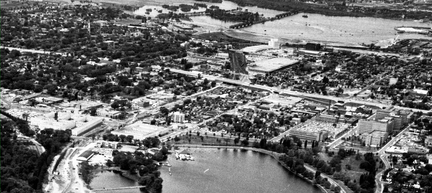
The cycling arterial will connect the Ottawa River cycling paths to the Otrain at Bayview, run along the tracks behind the City Centre complex, under Somerset via a new underpass, behind the PWGSC complex at 1010 Somerset, and come out at ground level again at Gladstone. Then a short overground stretch would take it beside the city signals yard annex, under the existing Qway overpasses, to Young Street, where it would join a rebuilt existing path along the east side of the Otrain cut all the way to Carling. The NCC person was present on the bushwacking expedition to consider, amongst other things, where it goes at Carling and how it connects to the Farm paths.
The areas behind the City Centre and 1010 Somerset proved to be very dense bush, with constant surprises hidden in the tall grass, weeds, and shrubbery: the odd half truckload of asphalt or cement, bits of rail, sleeping bags, laptop computers, etc. It is difficult to imagine a safe-feeling path there given the area’s current appearance, but with tree thinning, opening up vistas, improved fencing, path lighting, and some suggested alignment and elevation mods, it will work well with current and future developments proposed along the corridor. 

The cycling underpass under Somerset is also planned to handle the possibility of a LRT station at that location. If all goes to plan, the underpass would be constructed in 2011 with the path completed in 2012.
If you click on the word cloud to the right of this blog posting, select Cyclopiste de Preston to read earlier posts on each segment or use the search button.