

A number of interesting changes and opportunities for west side bus routes are coming up in the next few years. Let’s play the bus route planning game!
The official plans: To “encourage” people to use the new Confederation Line, and to ensure ridership numbers are high, local bus routes will deliver passengers to the line but not downtown. So the No 85, now on Carling / Preston / downtown, will shift to Carling / Preston / Pimisi / Gatineau. If you want to go downtown, you’ll have to transfer to the train at Pimisi Station (formerly LeBreton Station). There, you just proved the popularity and success of the Confederation Line!
For buses from the west, such as the express routes and the 90’s, most will terminate at Tunney’s until stage 2 of the Confederation Line opens. Because it is frustrating for people to transfer twice in a short distance, until Stage 2 opens, every third (or so) 90’s bus will continue from Tunney’s to Bayview (for transfers to the Trillium Line) and then to Pimisi (last chance to transfer!) and thence to Gatineau. A number of 95’s do the afternoon commute this way already going from Gatineau / Pimisi / Bayview / Tunney’s / westward.
The STO factor: it was recently announced that to reduce the number of STO buses travelling through the downtown on Wellington /McKenzieKing / Albert / Slater, the STO buses from Gatineau coming across the Chaudiere will terminate at Pimisi Station (ancien LeBreton Station). This will also allow the NCC to reconfigure Wellington Street in front of Parliament to one lane in each direction and make it a complete street. Unsaid was just how the STO buses will terminate their route and turn around at Pimisi Station, which is elevated on the Booth Freeway bridge over the train tracks.
I speculate the buses will turn onto Albert and continue to the bus parking zone just east of Bayview Station*. This need only be in place a few years, until the Trillium Line finds left over Federal Liberal infrastructure money behind some seat cushions, to take the trains over the Prince of Wales RR Bridge to the Gatineau Rapibus station (and not to Terraces de la Chaudiere or PDP as the bridge connection is to keep buses out of the downtown not serve the convenience of Ottawans working in Gatineau).

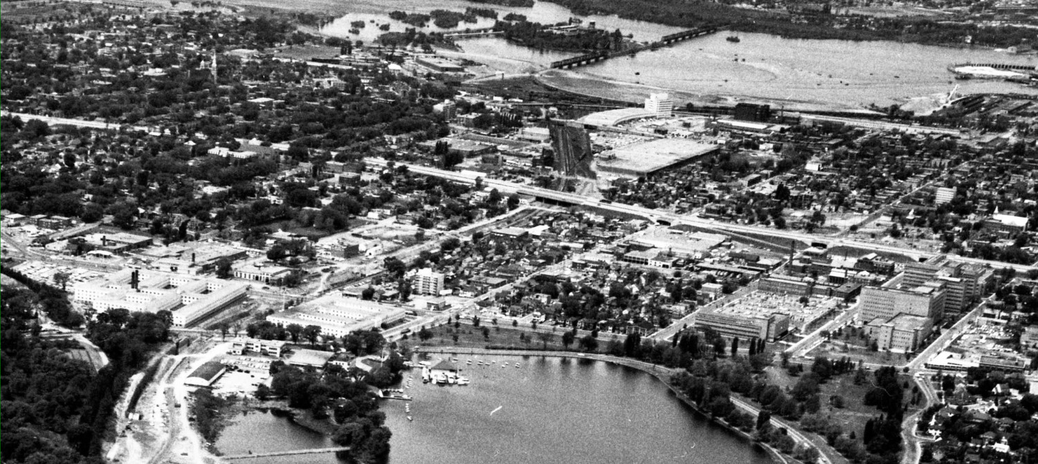
(above: unused inter provincial bridge with the same people carrying capacity as the existing busy bridges…)
If the turning around STO buses instead continued along Albert / Scott to Bayview / Tunney’s, their passengers would have fewer transfers (like Ottawa is doing with 90’s buses from the west, but in reverse). Once at Tunney’s to turn around, they could carry passengers from there to Gatineau, thus turning their deadhead into revenue service. Transit riders would have more frequent service to Gatineau, or we could reduce the number of buses required for the service.
Of course, this would eliminate the “ridership” on the Confederation Line if those Gatineau passengers made Tunney’s without using the train. So I expect Ottawa will claim Tunney’s is too busy to handle the STO and gosh, golly, gee, those riders will just have to transfer to the Confederation Line and maybe one stop later to the Trillium Line.
So much of what will happen in the Tunney’s to Pimisi zone isn’t so much about convenience for riders, but the politics of who gets how many riders and the fares and what buses go where.
The Trillium Detour: While somehow the City and Province managed to expand the Queensway by at least one lane in each direction, plus replace a bunch of over passes, and a major bridge over the Rideau River, all without closing the freeway down for two years, is inspiring. And all with amateur drivers, bozos, and rubber neckers on the road.
So inspiring, they’re planning two closures of the Trillium Line, for about 2 years each, to upgrade it. It seems Professional Drivers just can’t compete with amateur car drivers.
Of course, the city runs on complaints, so maybe they are flying that two-closures-of-two-years flag just to see who complains, and then will discover, gosh golly gee again, that they only need a two month summer closure after all.
When the Trillium Line service is interrupted today, OC Transpo puts on a parallel bus route. It runs Bayview / Preston / Carling / Bronson, etc. When the bus is on Preston, especially the northbound segments, it is subject to queue-backs and traffic delays on that street. This costs taxpayers in the form of more buses and drivers to make the same frequency. This is the route they suggest they will use during the two detour periods.
Here is an alternative routing:

Buses from Carleton follow Bronson / Carling / Champagne / Bayswater to Scott to Tunney’s.
Southbound, the bus would go Tunney’s / Scott / Preston / Carling / Bronson.
Only going southbound on Preston would avoid the prevalent NB congestion. And NB bus on Champagne would provide evening and night service to residents of the ENVIE student housing, currently 18 floors in one tower, now growing to 48 floors of students when tower 2 opens). In daytime, those same students would catch the bus to Carleton on Preston.
By going all the way to Tunney’s, a whole bunch of multiple transfers could be avoided. Optionally, this would function equally well after the Stage 2 extension of the Confederation Line to the west is completed, as some Trillium bus passengers are going only one stop west to Tunney’s employment centre.
The City is reluctant to put additional stops on the Trillium bus route, keeping it as close as possible to a train on rubber wheels. Alas, that model ignores the route flexibility of buses and their ability to add or delete stops. And it perpetuates the limitations that come with the Trillium Line having fewer stations than ultimately planned.
So in my Trillium bus line detour, I’d put in some extra stops, just to see if they generate significant transfer traffic by upping the convenience of accessing the North – South train line. A useful experiment to measure additional traffic captured.
Those stops would be at Somerset, Gladstone, ENVIE**, and Bronson. Here’s a map with stops shown as little black circles:

Those additional stops are only 3, so it shouldn’t delay the route timing by much, and still save time compared to running NB on Preston with its endless tailbacks.
The biggest drawback with the scheme outlined above isn’t the saved travel time, or the saved cost, or the increased convenience and safety of transit riders and students, it’s that it puts buses onto a street with very affluent residents whose houses are well set back from the curb, and reduces bus traffic on the lower income Preston where the street curb is right on their doorsteps. Note that each side of the tracks is a different ward. In other words, NIMBY and politics.
Magic marker time: what would you do?
___________
*STO buses could turn/park at the current bus layby lot near Bayview Station. By adding a bus stop, users could then walk into Bayview Station. Or a new bus layby could be built on the NW side of Bayview Station (off Bayview Road) thus bringing STO buses right up to the Bayview Station building on the lower level.
**the ENVIE stop is very close to Carling, which is a transfer point. So ENVIE is a bit optional for northbound daytime runs, but after 6pm, I’d definitely keep the ENVIE stop since many or maybe most of the Trillium users will be students. Vulnerable snowflakes and all that.
I think we will OC Transpo routes evolve overtime as the LRT is deployed. Such an evolution took place in Montreal after the Metro was deployed in 1966. The Metro greatly reduced travel times permitting travel between locations in the city which were previously had travel times too long to contemplate.
My problem with the current OC transpo bus system is that there are too many routes going downtown with too many stops which increases travel time, wait times and congestion.
When I used to commute by OC transpo, I found it was quicker to walk a few extra blocks in the winter to a major frequent bus routes on the Transitway that wait in the cold for a local bus to take me there. A lot of bus stops could be eliminated with no significant increase in travel time.
Another problem is the large number of mostly empty buses running in off peak or low ridership routes which wastes fossil fuels and creates unneeded pollution and GHG etc. Such routes would be better served with local Minivans based on an UBER based car pool ordering service.
Perhaps the deployment of the LRT will be a catalyst for a discussion on how the overall public transportation system can be made more efficient.
I have always thought minivans during the day at the appropriate places should have been in effect by now. Whenever will this happen? As for fewer bus stops though, as I get older, I cannot agree with that. Sometimes the stop frequencies propel me to walk instead of stopping all the time, but at other times I am glad for the bus stops. It depends on health, physical condition, weather, concern for others, and all of this varies with not just me (I am almost always active but getting older and “stuff happens”) but with everyone else too. So before eliminating some bus stops, more thought for everyone’s needs should be considered.
Minivans will become the more the norm when fuel prices rise enough making it cost prohibitive to run mostly half empty large buses on low passenger usage routes. Minivans are the norm in cities in developing countries where there is little subsidized public transportation and people cannot afford to pay much for transport.
Where I live I often see bus stops every block. Every stop increases trip time and increases fuel consumption; which increases cost and discourages bus use. When I lived in Montreal I lived 3 blocks from a commuter rail line which I walked to; it took me about 45 minutes to get downtown from may house. The same trip by bus took 90 minutes with all the bus stops and transfers. Using bus and subway it took 60 minutes. Which route would you choose?
A local minivan system which took people to LRT transit hubs could potentially provide more stops or even operate on an online stop pickup basis ( eg UBER ). With driverless minivans the cost of such a service could be subtantially be reduced.
I do not see this happening in Ottawa soon however as the City of Ottawa is not very receptive to new approaches
Somehow it’s both incredibly stupid and utterly unsurprising that the city would think it’s OK to just shut down the Trillium line for 2 years. The SLO-Train can go back to being the NO-Train.
And I’m sure they’ll do their usual of replacing it with temporary route 107, always a short bus that comes every 15 – 30 mins if you’re lucky.
I’d hope that they actually double track the entire way this time, but somehow I doubt it.
Gosh, so many important points raised both in the blog and in comments. Let me zero in on a couple. The Trillium line closure times are atrocious. I agree that all that work could be performed (admittedly for some extra cost) while the lines operating Railways have been doing this for years. They do not shut down mainlines to insert sidings or re-balast tracks or even add paralleled trackage. We must raise this loudly to get city politicians and planners oriented to servicing the public rather than the designers and contractors.
The second point is the STO removal from Wellington. where indeed will all those busses turn around, stack and wait, or pass through the center. This is as yet vaguely explained.
Lastly let me comment on lower capacity busses. As our city becomes a real metropolis we should see a higher use of transit. Operating smaller equipment is not recommended on main lines, but has merit on low volume lines. But first we must admit that our systems are conceived as commuter systems and unless that changes we will always have poor mid-day services, whether empty busses (and empty light rail vehicles) or ridiculously long wait times.
The only way to get the public outcry about the Trillium Line shutdown is to get the information on the local newscasts, the newspaper, Metro paper etc. City Hall sure doesn’t publicize it!
One detail which should be brought to the public’s attention is that several million of their taxpayer dollars were invested in the creation of the Trillium Line. In effect, the City planners are suggesting that this several million dollar tax investment should simply sit unused while they doodle around.
There is a significant dollar value associated with each item of public infrastructure. If that infrastructure is not serving the public then all of those taxpayer funds are effectively down the drain.
And if the city employs planners who lack understanding of the needs of the public, and the enormous cost associated with the 2 year idle of significant capital investment, then it is clear the taxpayer is not getting value for her / his tax dollar.
Time for a new civic government, or new planners, whichever is more economical.
Is the Trillium line tunnel under Dow’s Lake wide enough for 2 trains to pass? If so, is there sufficient room for a second set of tracks to be laid without having to reset the existing tracks to make room?
If the answer to the first question is no, then perhaps that is why they need an extended track closed time frame. Two years seems like a long time period, but then again, the city has seldom demonstrated an understanding of the time value of its residents, noting that the upgrades to the 417 were done by the province.
If the answer to the first question is yes, but the answer to second question is no, then I struggle to understand why they would need two years.
Ronn: the tunnel under Dows Lake is one track wide. It is made of cast in place concrete. IMO the logical way to twin the track is to twin the tunnel, in a separate box. This gives us redundancy and robustness. One tunnel can always be shut down in quiet times for repair. It also makes it more terrorist resistant. I see no real reason why the tunnel and rideau river bridges cannot be twinned or twinned/expanded/replaced while the old bridge or tunnel remains in service beside the new one.
The tunnel under Dows Lake isn’t wide enough for two full tracks, but I believe the existing tracks are slightly offset to one side. Assuming that to be the case, a second set of interlaced tracks (also called a “gauntlet”) could be installed. As now, only one train could enter the tunnel at any one time, but each direction has its own track. The advantage to doing that as opposed to using switches at either end of the tunnel is that there is a time savings in not having to set and reset those switches. Given the shortness of the tunnel, the setting and resetting times of the switches (as well as the slower movement through the switches) would account for a disproportionate share of the time needed between successive train movements.
With gauntlet track, once one train is clear of the gauntlet track the other train can proceed immediately without having to wait for a switch to set. Moreover, the exiting train does not need to slow down anything like as much as it would for a switch, so the “tunnel” portion of the trip time is also reduced.
This need not be a permanent solution, but it can certainly be used as an interim solution to increase line capacity and flexibility while not immediately bearing the higher costs of building a second tunnel. The same can be done on the bridge over the Rideau River, but twinning a bridge is considerably easier than twinning a tunnel.
I was going to make the same suggestion with regard to gauntlet tracks.
These have been used the world over as a successful design solution.
The big advantage the city has is that there are stops adjacent to each tunnel mouth, one at Carleton and the other at Carleton. If one services the university and the other services the hospital, both of which can be presumed to be high volume stops with significant passenger on / off times then it should be possible to juggle the train schedule so that while one train is loading / discharging at Carleton, the other train is travelling through the tunnel. Then the train which completed loading / discharging at Carleton can then enter the tunnel when the Carleton train has fully passed through.
With regards to the terrorist vulnerability of the river tunnel you should be aware that there exists an Order in Council which prohibits terrorist attacks on railway tunnels. Violate this strongly worded edict and you will be subject to a fine of $150 dollars.
My main worry about losing bus service to and through downtown is the loss of bus stops. Having COPD I plan my bus trips so I end up with the shortest walking distance from the stop to my destination. I’d rather spend more time getting to the stop than having a longer walk. I’m sure there are other transit users that for whatever reason can’t walk blocks and blocks to a destination as well.
Just drove down Bayswater yesterday at my usual sedate speed. I have always been walking down the sidewalks, and did not realize how very very severe the speed bumps are. Wow! The ones on Byron are humps I guess….much less shocking. So the Bayswater ones need a new paint job right on the pavement. No question. I cannot see Bayswater as a realistic street (even if it seems to be) for buses given the concern for traffic which as is powerful. But you never know. For so many years kids from Elmdale and HIlson negotiated really narrow sidewalks with buses!! Right beside them. People would not be going back to that nonsense. Bayswater sidewalks seem wider, the street seems wider, the houses are set further back, but it would still surprise me if community concern for safety would permit buses. As for Preston? I cannot even imagine enjoying an outdoor patio with buses since it is difficult now to put up with the trucks and buses. AS for residents on Preston? I agree that it could be hard (not impossible) to organize objections to the bus route given that different circumstances such as community “power dynamics” and different ward are at play.
But what do I know? I just walk these sidewalks, drive these streets, and have lived here for thirty-five years. Not a city planner.
city planners should be executed for being so ignorant of what is necessary or not. in a perfect world, no cars allowed in the cities. catch areas would be used not to only control who attends what school but also everyday life affairs, like work. you live within a certain catch area you will have to work there also. cities with no cars in view.